At The Temar Group, we document conditions from Risk to Build for underwriting, evaluation, construction progress, and post-loss—delivering accurate, current information for decision-making.
Examples of Site & Asset Documentation
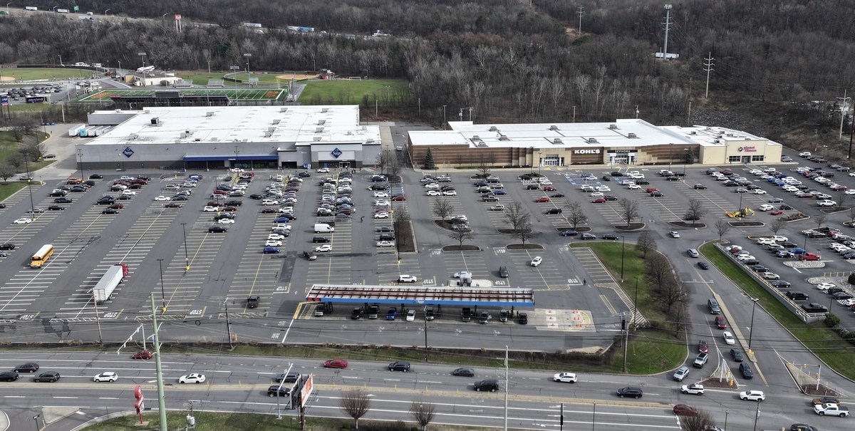
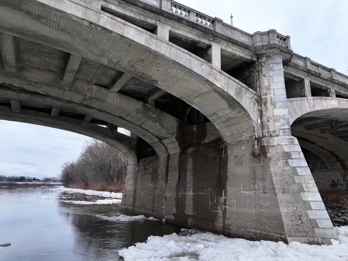
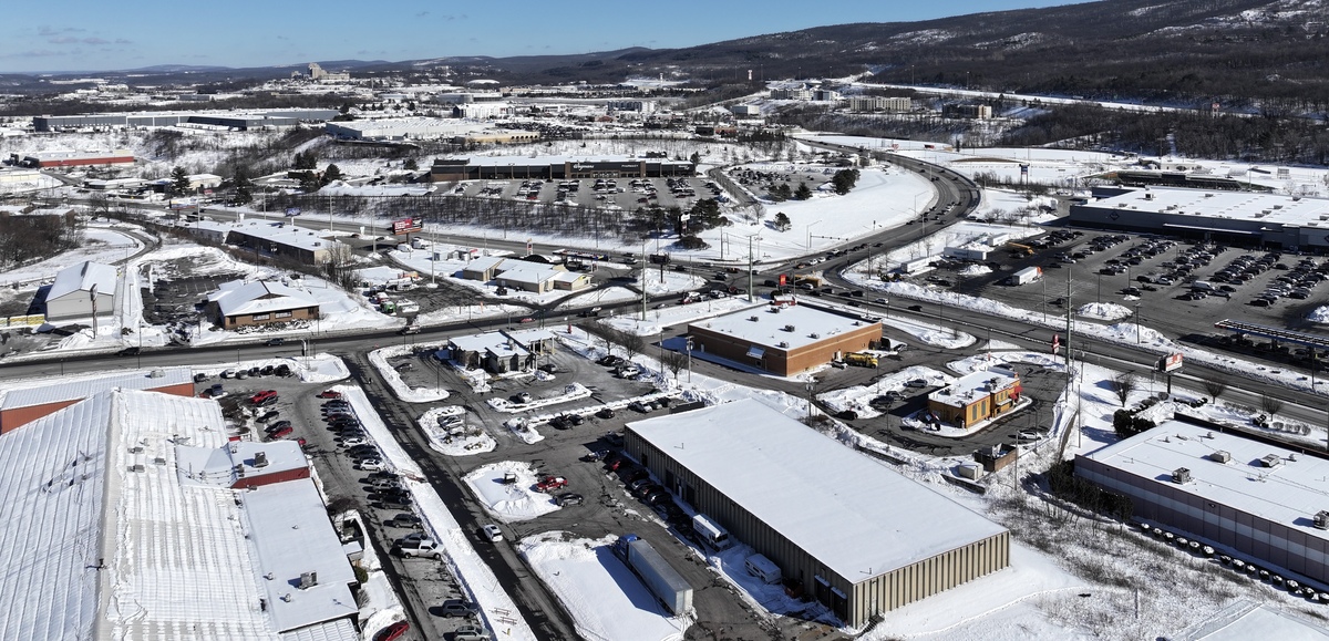
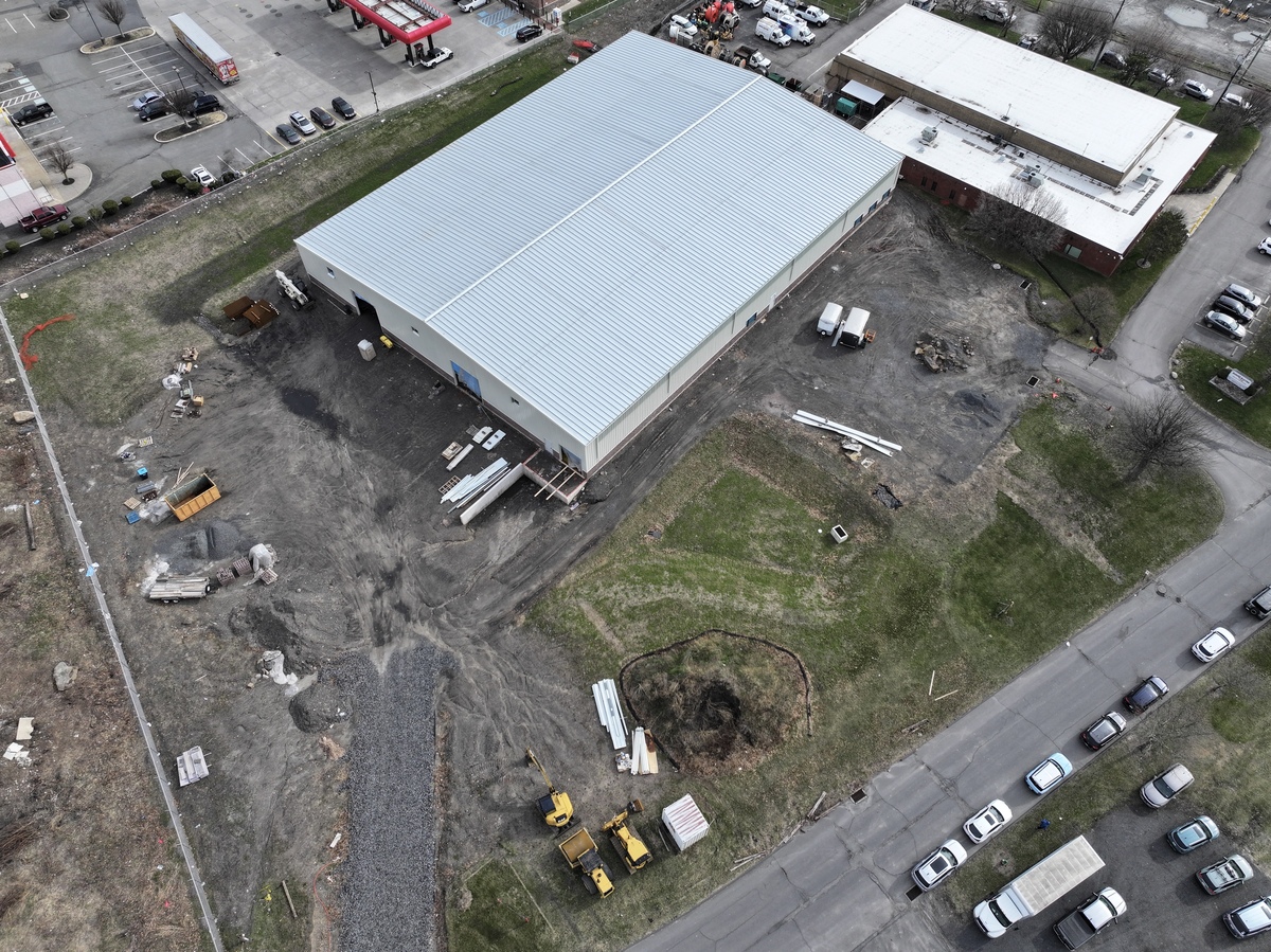
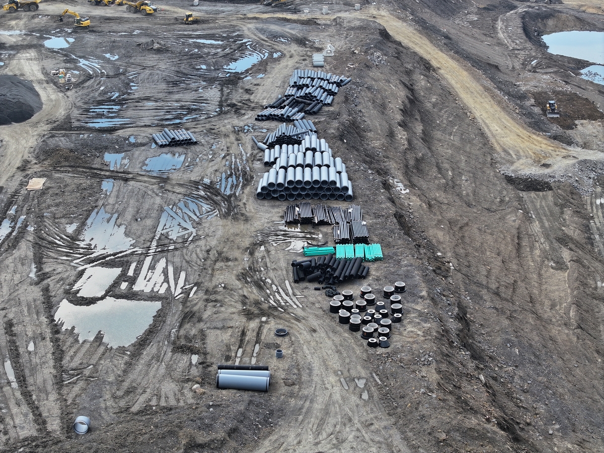
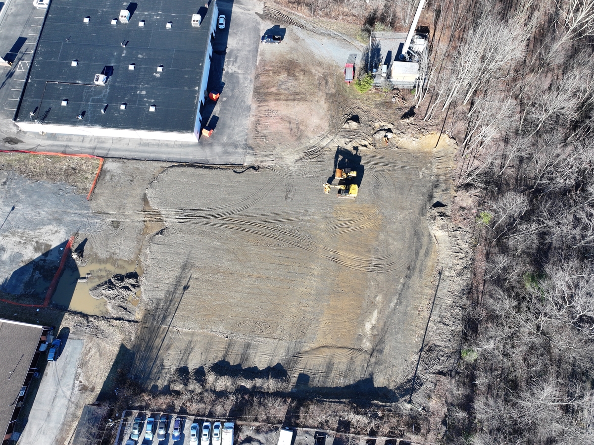
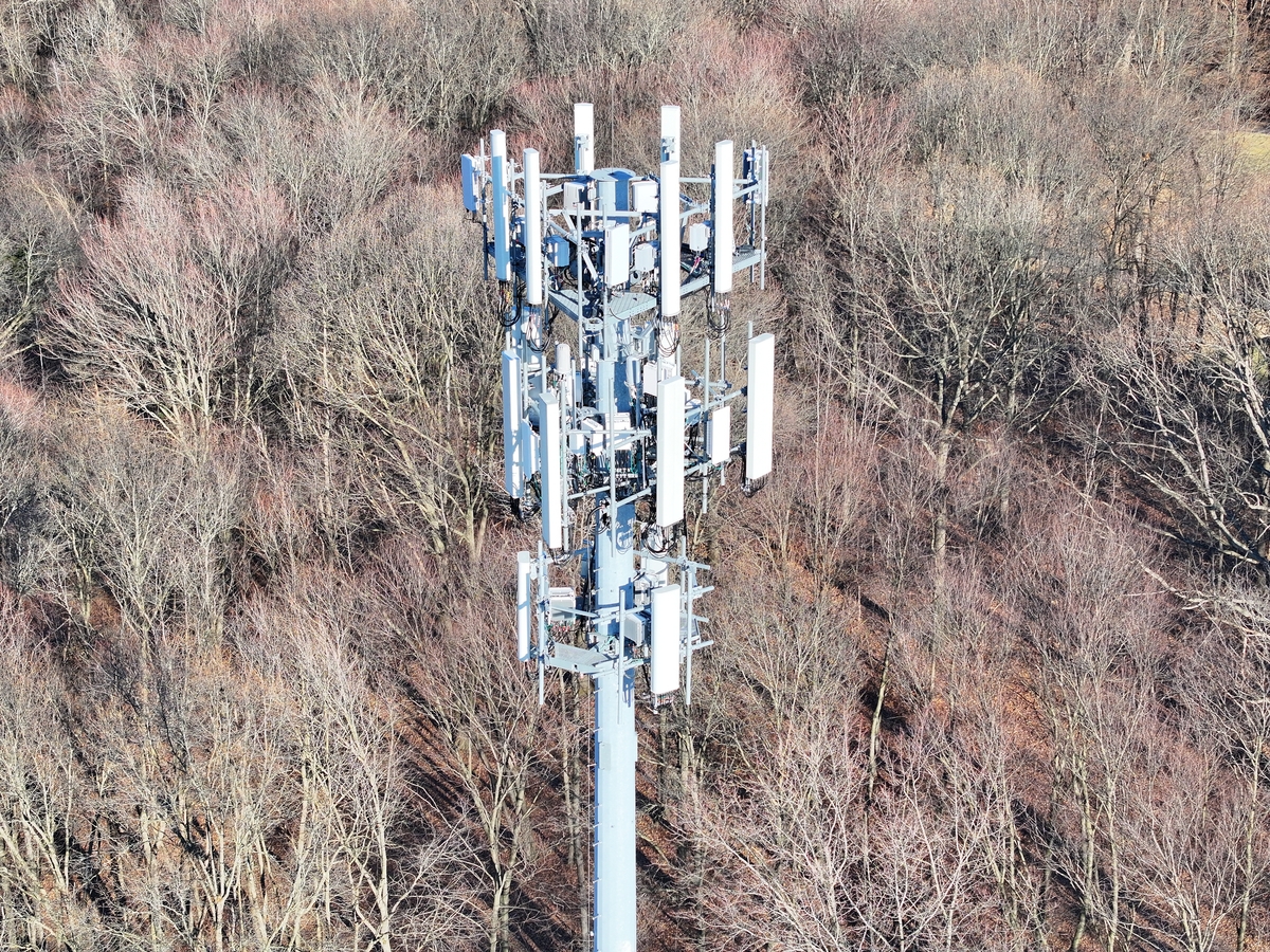
From large commercial sites to individual assets, our work provides the visual data needed to evaluate conditions, support decisions, and keep projects moving.
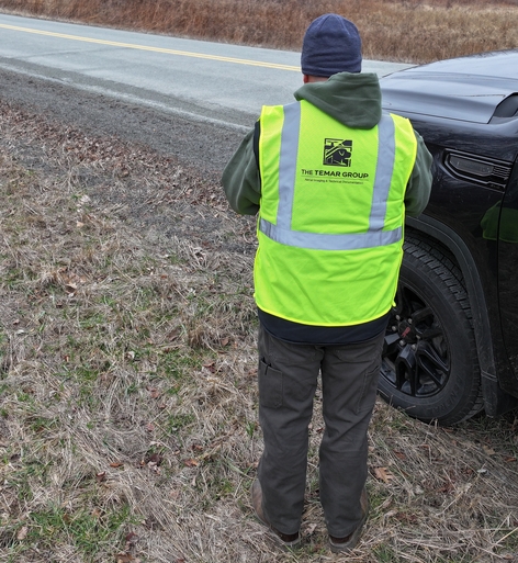
The Temar Group provides aerial and ground-based documentation for properties, assets, and active projects across Northeastern Pennsylvania and surrounding areas.
Our work supports insurance carriers, contractors, developers, and property managers—as well as architects and design teams who rely on accurate data for evaluation, planning, and decision-making.
We capture conditions where and when they matter most—from underwriting and site evaluation to construction progress and post-loss assessment—delivering clear, consistent data.
FAA Part 107 certified and fully insured. Responsive service, built for reliable results.
The Temar Group is built on a background in public safety, and field-based operations—where accuracy, accountability, and documentation are non-negotiable. That foundation is supported by formal training in disaster assessment and property inspection, along with a background in commercial photography.
We do not just capture images—we document conditions in a way that holds up under review and supports decisions.
For contractors, developers, and insurance professionals, that means having reliable, current information when timelines, budgets, and risk are on the line— so decisions are made with confidence, not assumptions.
Documentation Services
We document properties, job sites, and assets for inspections, claims, and project tracking—capturing current conditions so you can identify issues and keep projects moving.
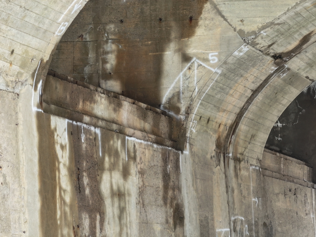
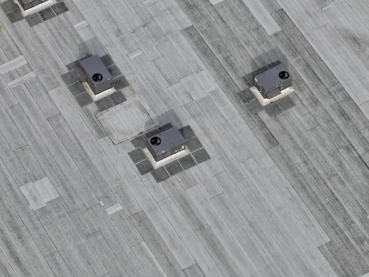
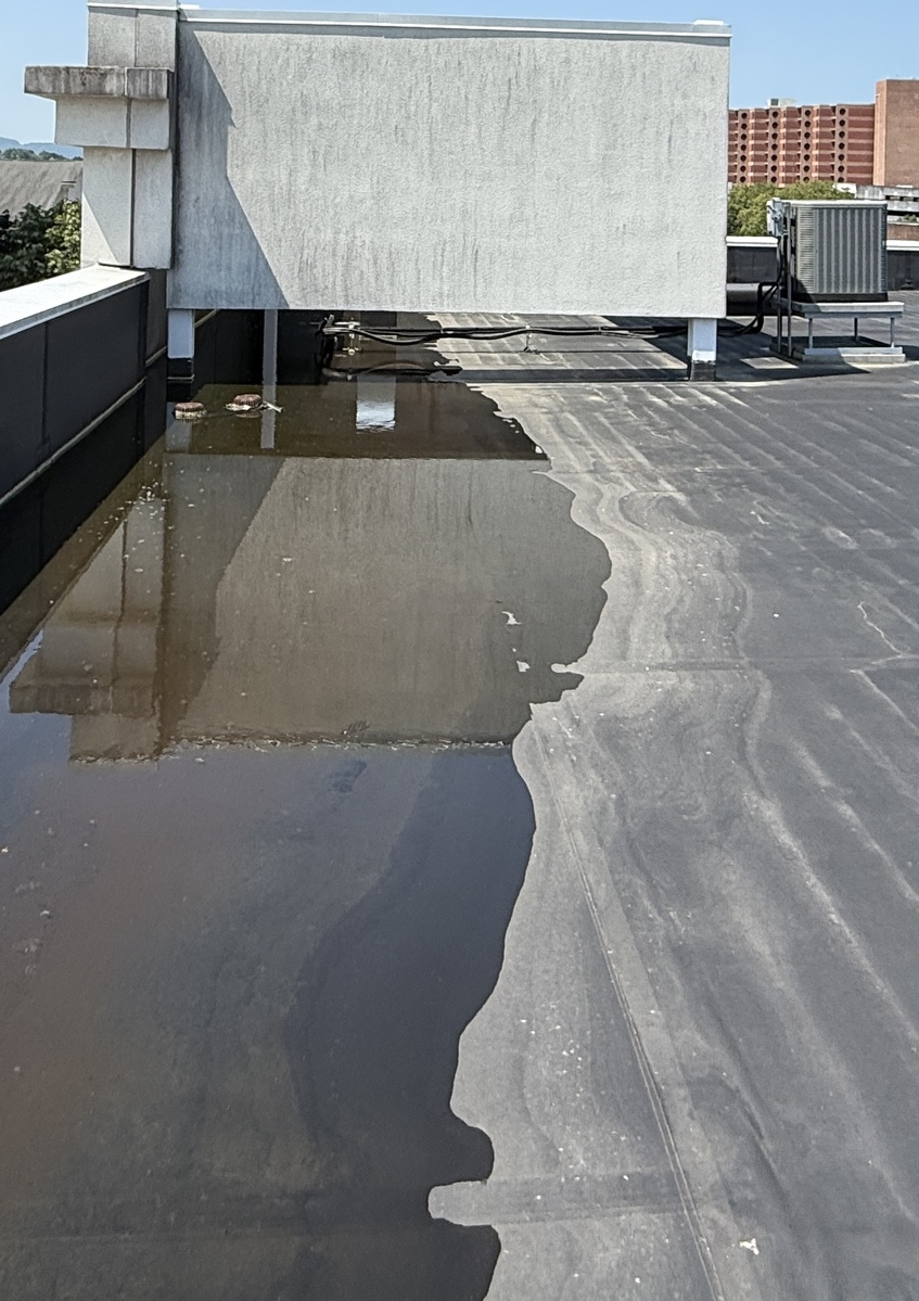
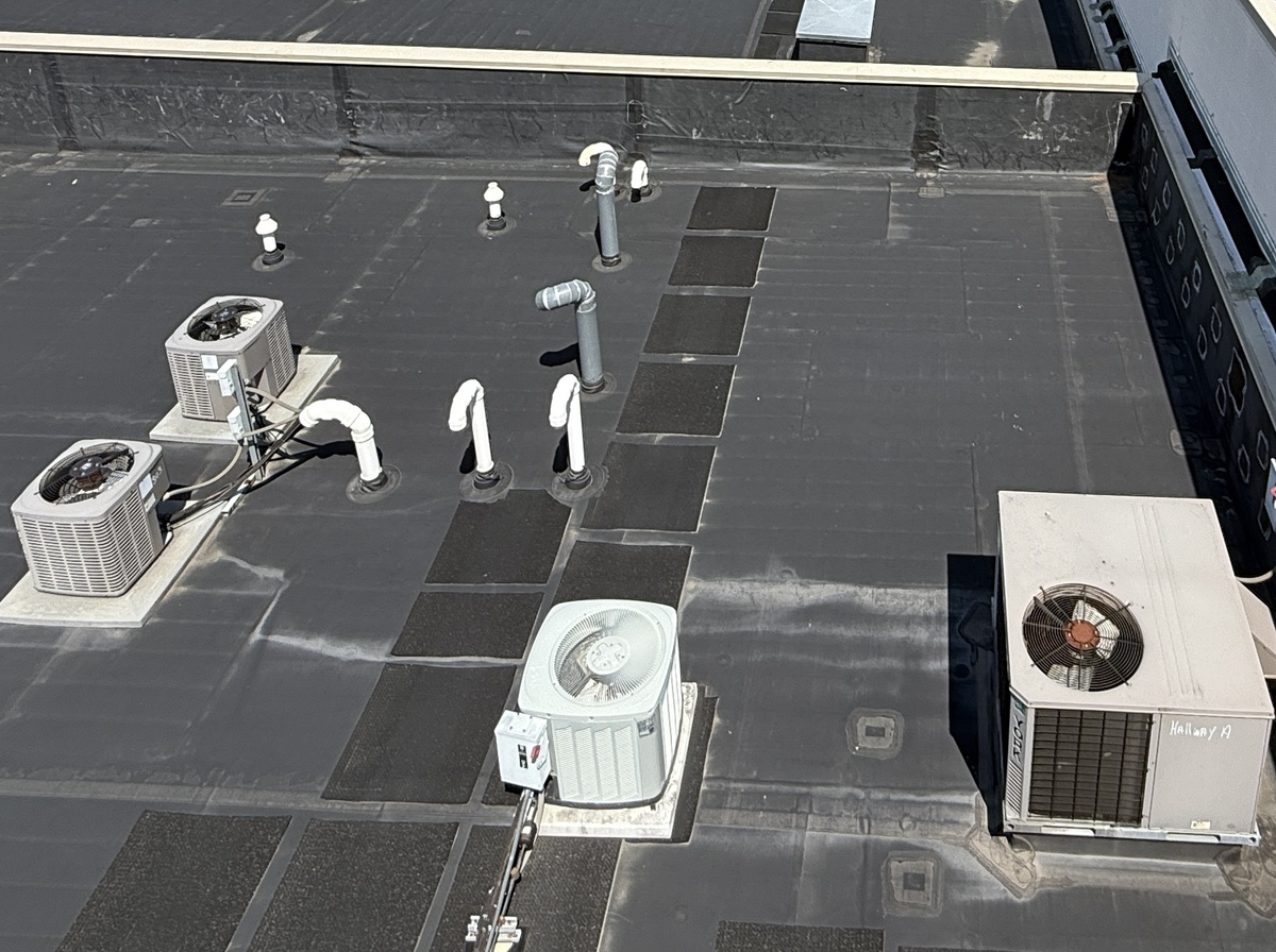
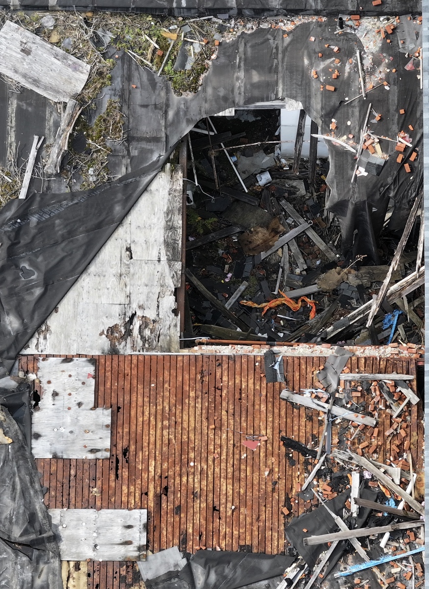
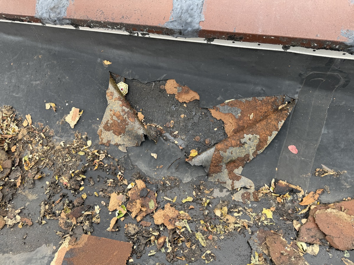
Documentation of roofs, structures, and building components to identify damage, wear, and areas of concern—without the need for ladders or disruption to the property.
Structured visual documentation to support underwriting, claims, and loss assessment. Clear, consistent data helps reduce disputes and supports faster, more informed claim decisions.
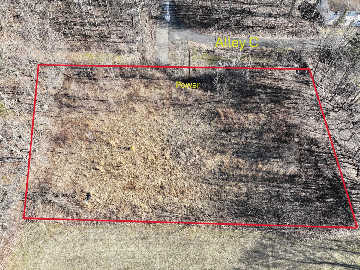
Track progress, maintain visibility, and document conditions at key stages—including early-stage site assessments for acquisition and planning.
Recurring documentation for property oversight, maintenance planning, and asset management. Ideal for multi-property portfolios requiring consistent, repeatable data.
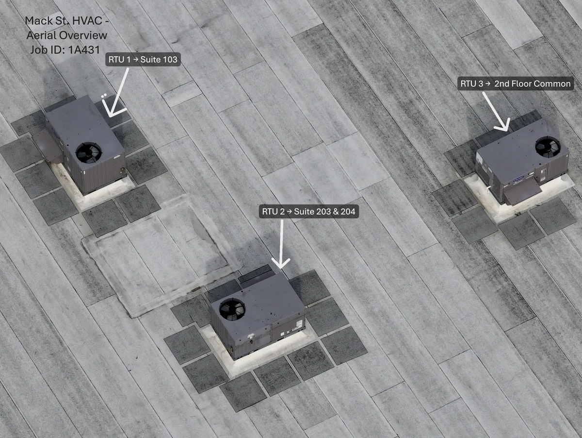
HIGH RESOLUTION PHOTO SETS
Organized, labeled images capturing site conditions from multiple angles
Aerial & Ground Coverage
Combined perspectives when needed to fully document structures, access points and conditions.
Annotated Images Optional markups highlighting damage, areas of concern, or key features for quick review.
Fast Digital Delivery
Files delivered in an organized format, ready for reports, claims, or project documentation.
Clear communication. Fast turnaround. No guesswork.
1) Submit project details
2) Receive scope, pricing, and turnaround (typically within 24 hours)
3) Schedule and deliver
Based in Northeastern Pennsylvania — FAA Part 107 Certified & Fully Insured
Most projects are scheduled within 24 - 72 hours. Rush availability depends on location and conditions
Yes. FAA Part 107 certified and fully insured for commercial drone operations.
You'll receive high-resolution ground and aerial images organized for easy use. Annotated images are available upon request.
Yes. We offer a live view feed during the flight so you can see exactly what the drone sees in real time. This allows for on-site collaboration, immediate adjustments, and ensures nothing is missed.
Absolutely! We work on projects of all sizes, from single residential properties to large-scale commercial developments.
Yes. We regularly support roofing, insurance claims, construction progress, and property assessments.
No problem. We can follow a provided shot list and adapt on-site to capture exactly what's needed.
Pricing depends on scope and location.Most jobs are straightforward—reach out for a quick estimate.
Yes. Based in Northeastern Pennsylvania, with travel available depending on the project.
Submit a request below or reach out directly. You'll receive scope, pricing, and scheduling—typically within 24 hours.